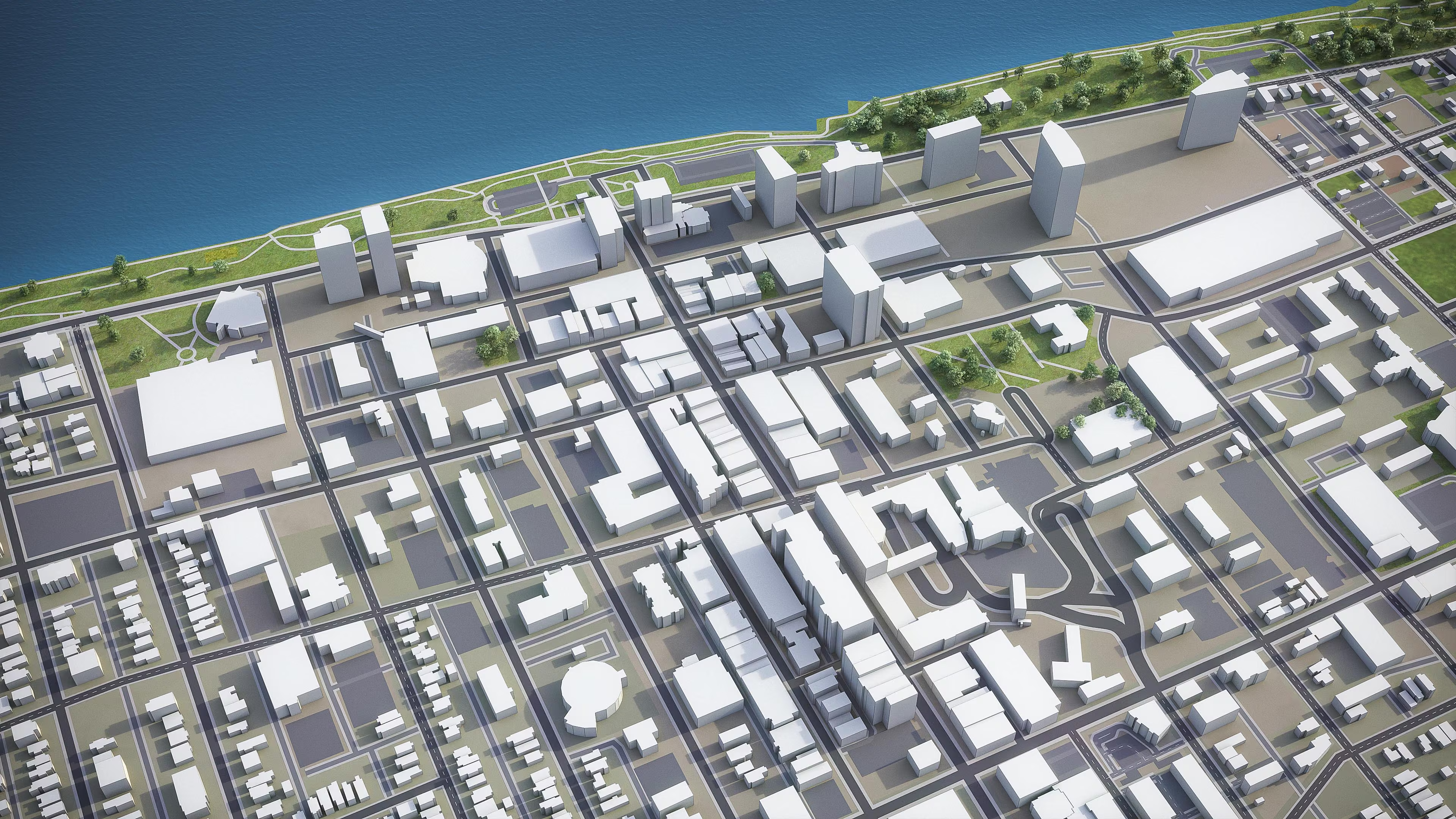
High-resolution 3D city model built from verified open data — national cadastres, municipal datasets, and OpenStreetMap — ready for use in architectural visualization, urban planning, and simulation workflows.
The model covers the full urban extent with accurate building massing, street network, terrain, and key infrastructure.